Chikmagalur district
Mudigere taluk
High, wet and green: Mudigere sits where the plateau starts falling away to the coast, so the taluk is all cardamom, coffee and cliff. Charmadi Ghat drops out of it towards Dakshina Kannada in twenty-five kilometres of hairpins, and the ridge above the ghat carries the district's best-loved hard treks — Ettina Bhuja, Amedikallu, Jenukallu Gudda, and the Hoysala fort at Ballalarayana Durga.
7 places to visit
- Charmadi Ghat
- Ballalarayana Durga fort
- Ettina Bhuja and the Charmadi ridge treks
- Cardamom and coffee estates
Highlighted together with Kalasa, which the district map still draws as one taluk. Open the full map · boundaries Nayvik, CC BY-SA 3.0
 Viewpoint
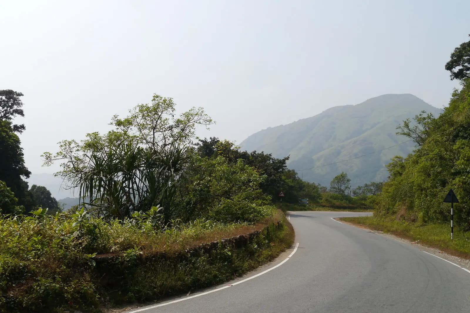
Charmadi Ghat
Twenty-five kilometres of hairpins off the plateau to the coast, through the wettest forest in the district.
Ballalarayana Durga
A Hoysala hill fort on the Charmadi ridge, reached on foot through shola grassland.
 Peak
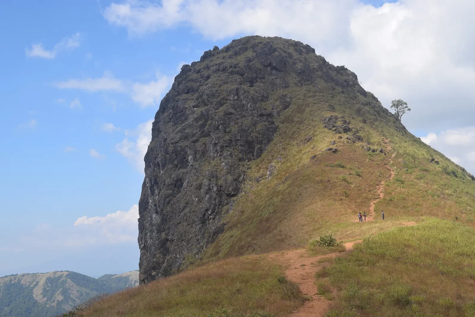
PeakEttina Bhuja
The ox's shoulder — a 1,300 m rock nose over the Charmadi valley, and the district's best half-day climb.
Bandaje Arbi Traverse
Two days from Sunkasale over Ballalarayana Durga and down past the falls to Ujire — the finest walk in these hills.
Amedikallu
The hard one on the Charmadi ridge — steeper than Ettina Bhuja, rockier at the top, and far quieter.
Jenukallu Gudda
Honey-rock hill — named for the wild hives on its cliffs, and they are still there.
 Heritage
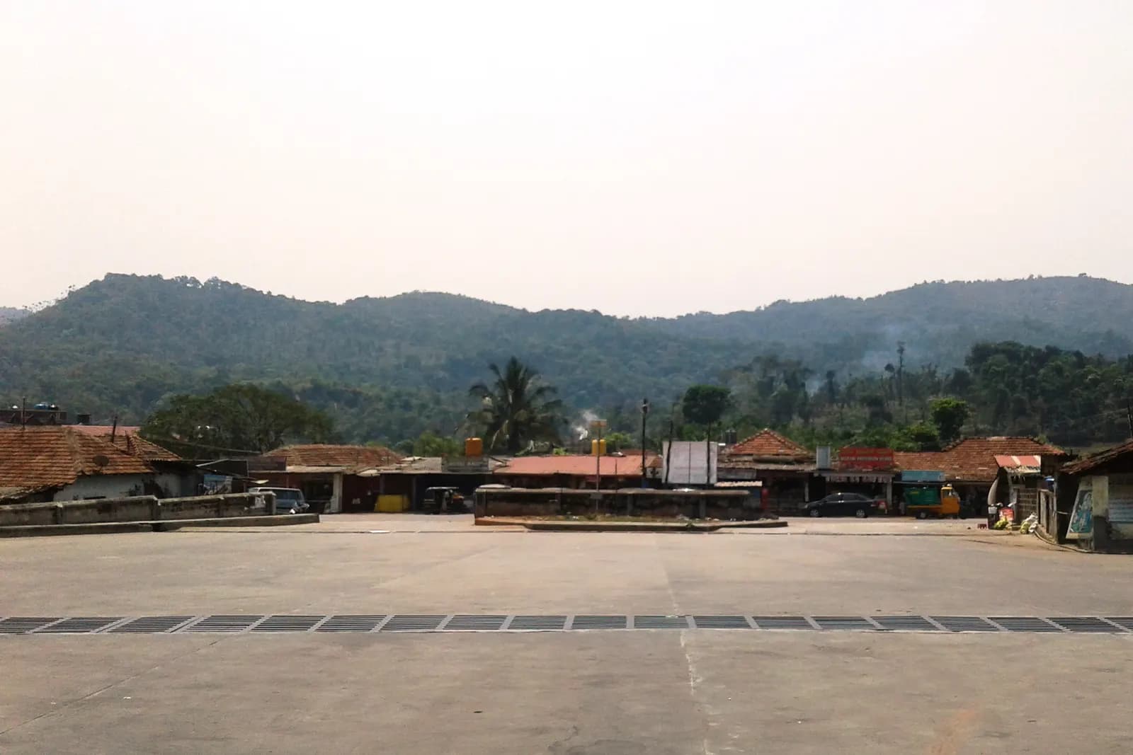
Kottigehara
The junction town where the plateau ends and Charmadi begins — coffee, cardamom and the last fuel pump.
What to eat in Mudigere
- Neer dosa with chicken or kori gassi — the coastal influence arrives with the ghat
- Kesu (colocasia) patrode, steamed and sliced, a monsoon staple
- Jackfruit in every form between April and June: happala, chips, idli
- Estate honey and cardamom, sold at the roadside around Kottigehara
Getting around
Charmadi is a working freight route and it closes without much warning after landslides — check before you commit to it as an exit to Mangaluru. The ridge treks need a local guide; the trails cross private estate land and forest boundary.