The whole district
Places to visit in Chikmagalur
Every peak, trek, waterfall, temple and lake we would send a friend to — with the honest detail on how hard it is, how long it takes and when to go. Start with the map: which taluk a place is in decides whether it fits your day.
Boundaries traced from the district's own talukwise map — Nayvik, CC BY-SA 3.0, via Wikimedia Commons. It predates the creation of Kalasa and Ajjampura taluks, so those are shown with the taluks they were carved out of.
Nine taluks
Start with where, not what
54 places across the district, and the distance between them is the thing that decides your trip. Pick a taluk to see what is in it — the hills and the treks, the temples, the waterfalls, and what is worth eating while you are there.
Or search the lot
Every place in the guide, filterable by what it is, which taluk it is in and how hard the walking gets.
7 of 54 places
 Viewpoint
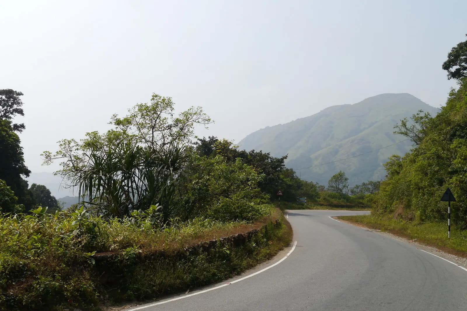
Charmadi Ghat
Twenty-five kilometres of hairpins off the plateau to the coast, through the wettest forest in the district.
Ballalarayana Durga
A Hoysala hill fort on the Charmadi ridge, reached on foot through shola grassland.
 Peak
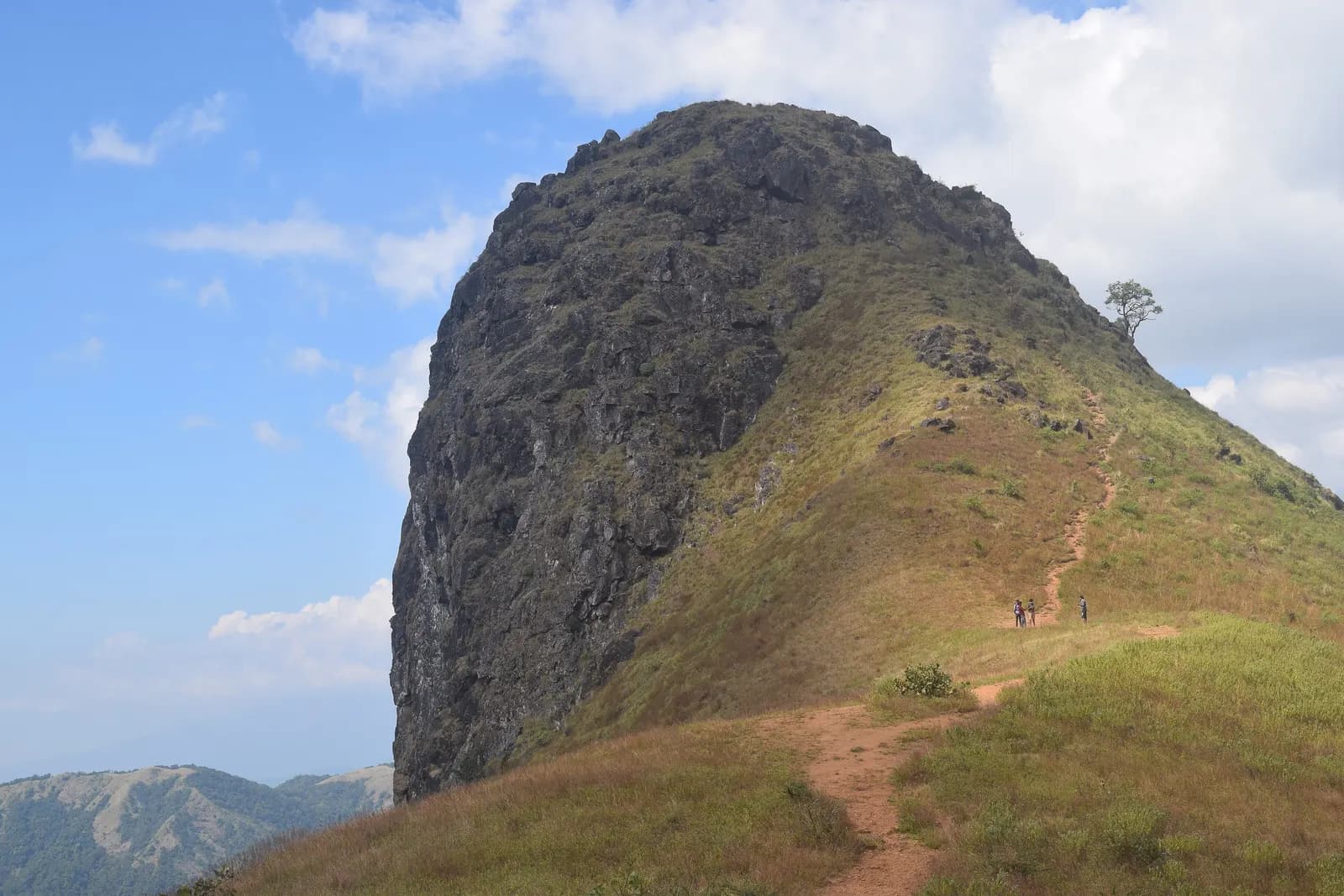
PeakEttina Bhuja
The ox's shoulder — a 1,300 m rock nose over the Charmadi valley, and the district's best half-day climb.
Bandaje Arbi Traverse
Two days from Sunkasale over Ballalarayana Durga and down past the falls to Ujire — the finest walk in these hills.
Amedikallu
The hard one on the Charmadi ridge — steeper than Ettina Bhuja, rockier at the top, and far quieter.
Jenukallu Gudda
Honey-rock hill — named for the wild hives on its cliffs, and they are still there.
 Heritage
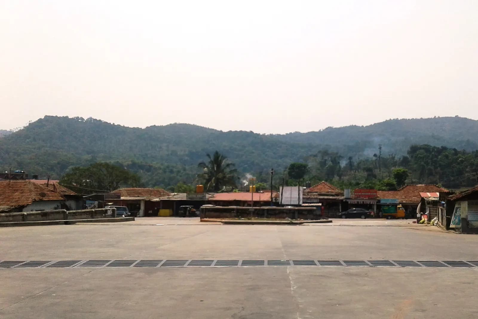
Kottigehara
The junction town where the plateau ends and Charmadi begins — coffee, cardamom and the last fuel pump.