Chikmagalur district
Tarikere taluk
Called the gateway to Malnad, and it earns it: the taluk starts on the plains and ends at Kemmanagundi, the hill station Krishnaraja Wodeyar IV kept as a summer retreat. Hebbe and Kalhatti falls are here, the Hoysala Amruteshvara temple at Amruthapura is here, and so is the Bhadra dam at Lakkavalli.
7 places to visit
- Kemmanagundi hill station and Z Point
- Hebbe Falls
- Amruteshvara temple, Amruthapura (1196 CE)
- Bhadra dam and reservoir at Lakkavalli
Highlighted together with Ajjampura, which the district map still draws as one taluk. Open the full map · boundaries Nayvik, CC BY-SA 3.0
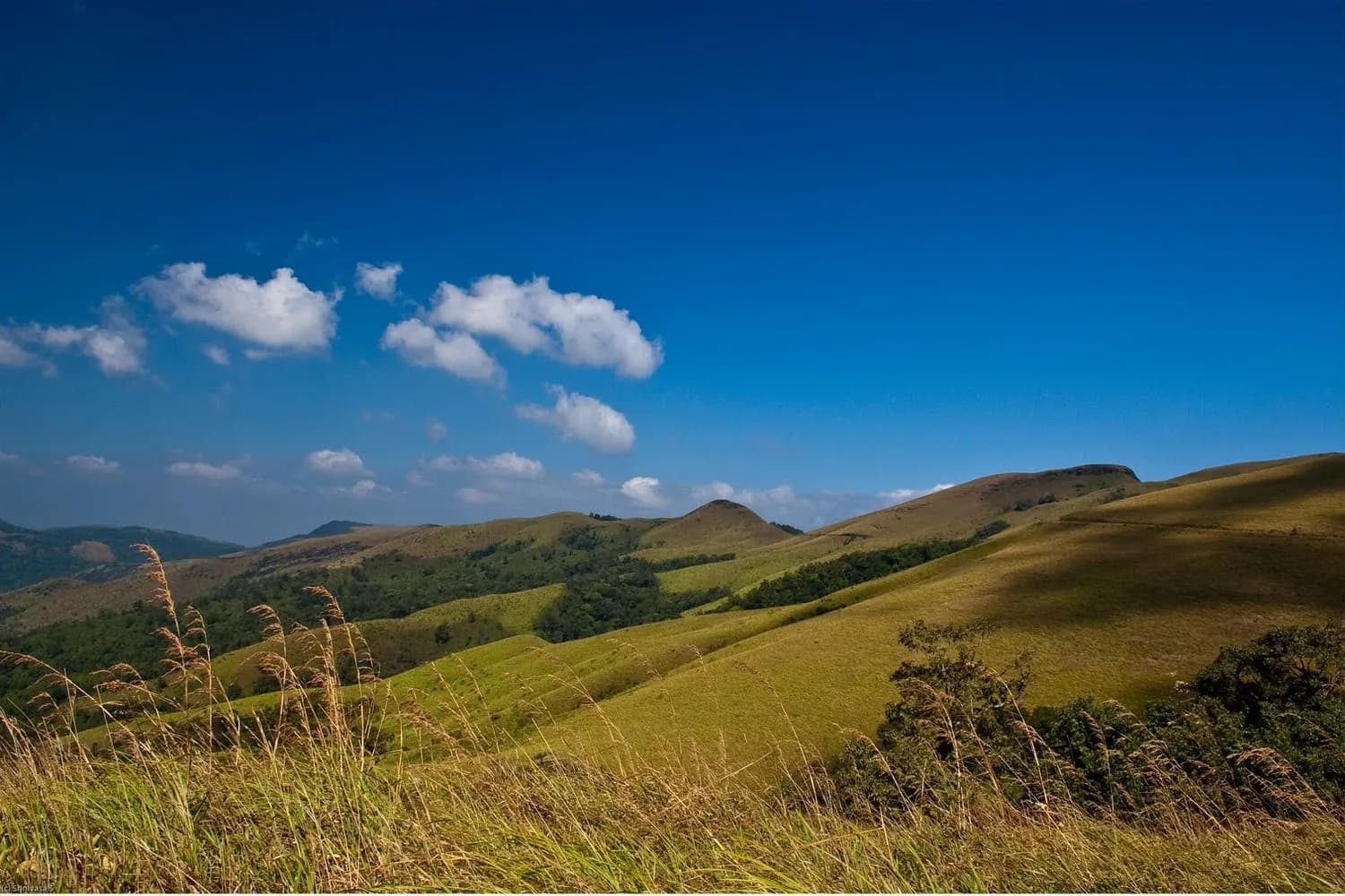 Hill Station
Kemmanagundi
A garden hill station laid out by a king
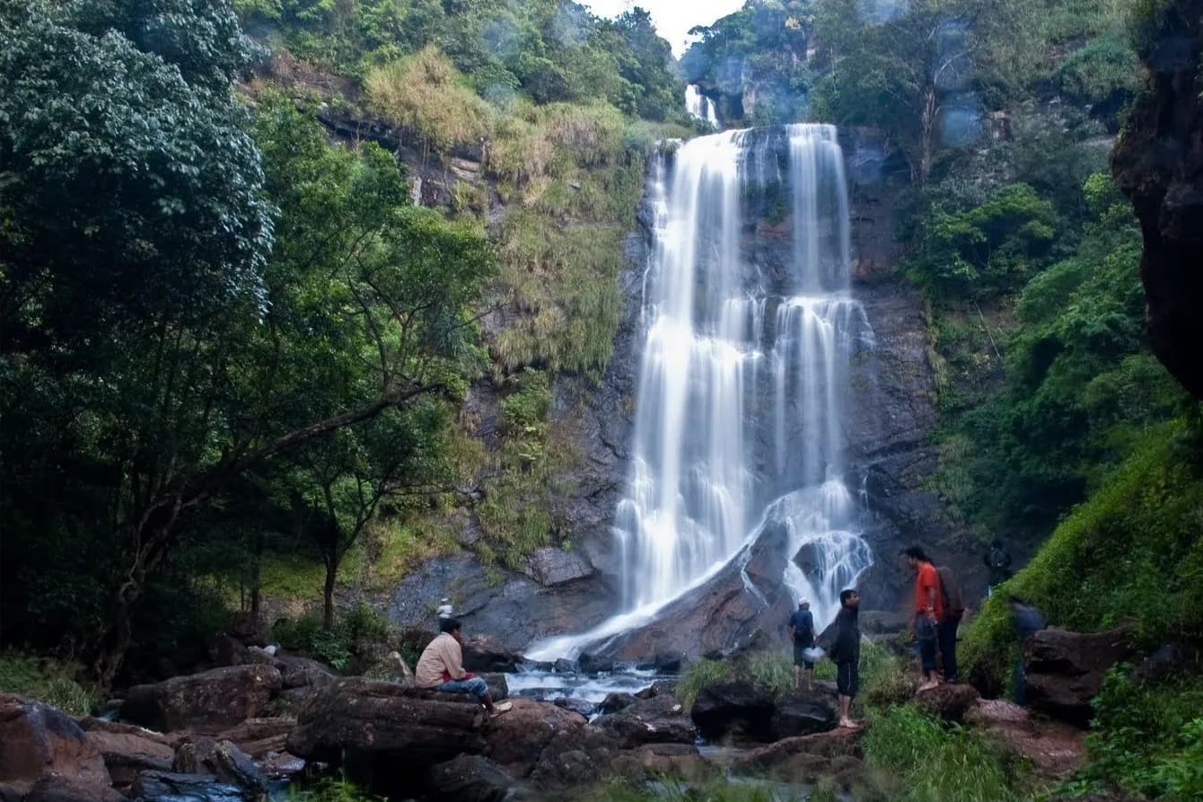 Waterfall
Hebbe Falls
A two-tier fall deep inside a coffee estate
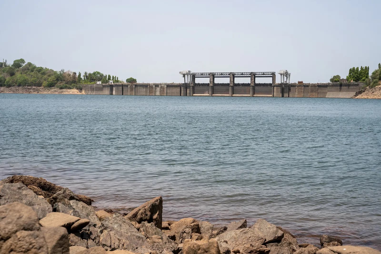 Dam
DamBhadra Dam, Lakkavalli
One of Karnataka's oldest big dams, holding the reservoir that forms the tiger reserve's western edge.
Kalhatti Falls
A cliff cascade over a small temple
 Temple
Amruteshvara Temple, Amruthapura
Hoysala stone carving on the northern plains
Shanti Falls
A small fall on the Z Point path that almost nobody stops at — which is the whole point.
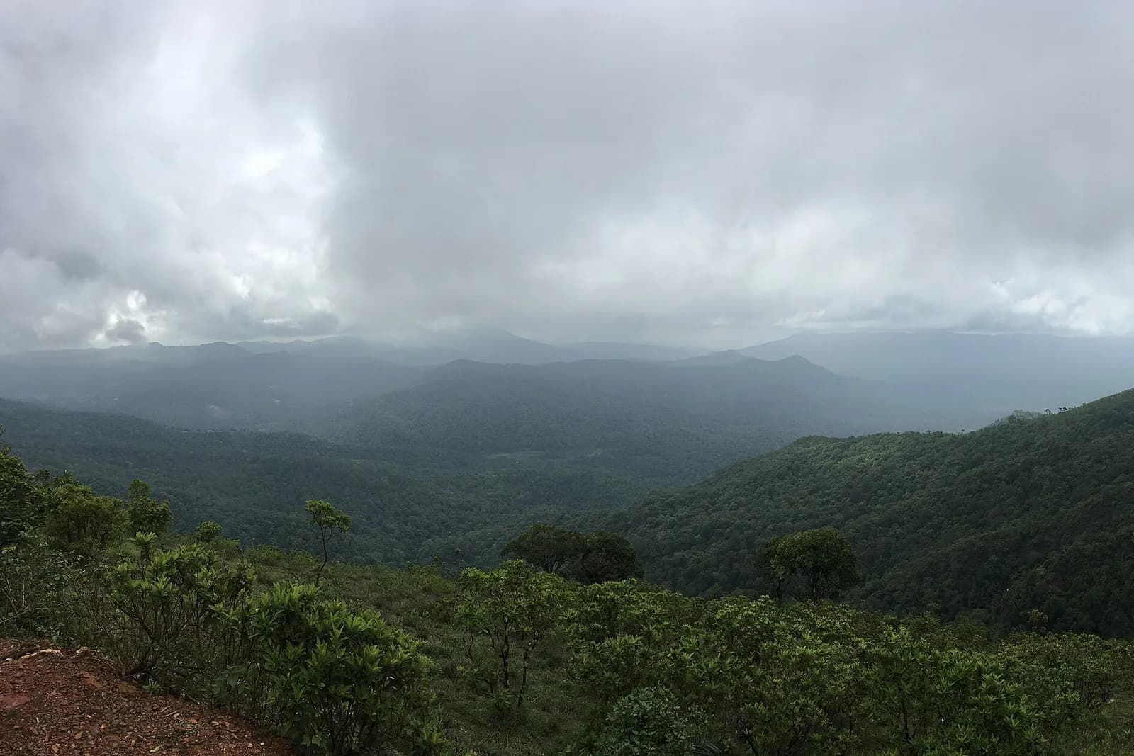 Viewpoint
Z Point
Kemmanagundi's sunset ridge
What to eat in Tarikere
- Benne dose and kesari bath in Tarikere town before the climb
- Jolada rotti with ennegayi — the plains half of the taluk eats like the Deccan
- Kemmanagundi's horticulture-department canteen fare: simple rice plates, hot coffee
- Roadside sweet corn and mango in season on the Lakkavalli road
Getting around
Hebbe Falls can only be reached by a licensed 4x4 from the Kemmanagundi stand — private cars are not allowed on the estate track. Z Point is a 45-minute uphill walk from Raj Bhavan, not a drive-up.