The whole district
Places to visit in Chikmagalur
Every peak, trek, waterfall, temple and lake we would send a friend to — with the honest detail on how hard it is, how long it takes and when to go. Start with the map: which taluk a place is in decides whether it fits your day.
Boundaries traced from the district's own talukwise map — Nayvik, CC BY-SA 3.0, via Wikimedia Commons. It predates the creation of Kalasa and Ajjampura taluks, so those are shown with the taluks they were carved out of.
Nine taluks
Start with where, not what
54 places across the district, and the distance between them is the thing that decides your trip. Pick a taluk to see what is in it — the hills and the treks, the temples, the waterfalls, and what is worth eating while you are there.
Or search the lot
Every place in the guide, filterable by what it is, which taluk it is in and how hard the walking gets.
7 of 54 places
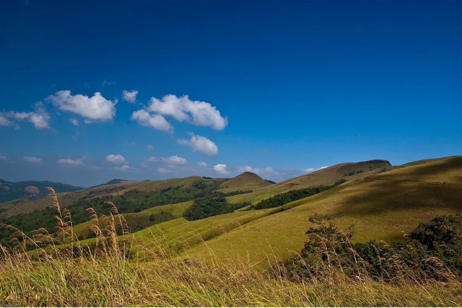 Hill Station
Kemmanagundi
A garden hill station laid out by a king
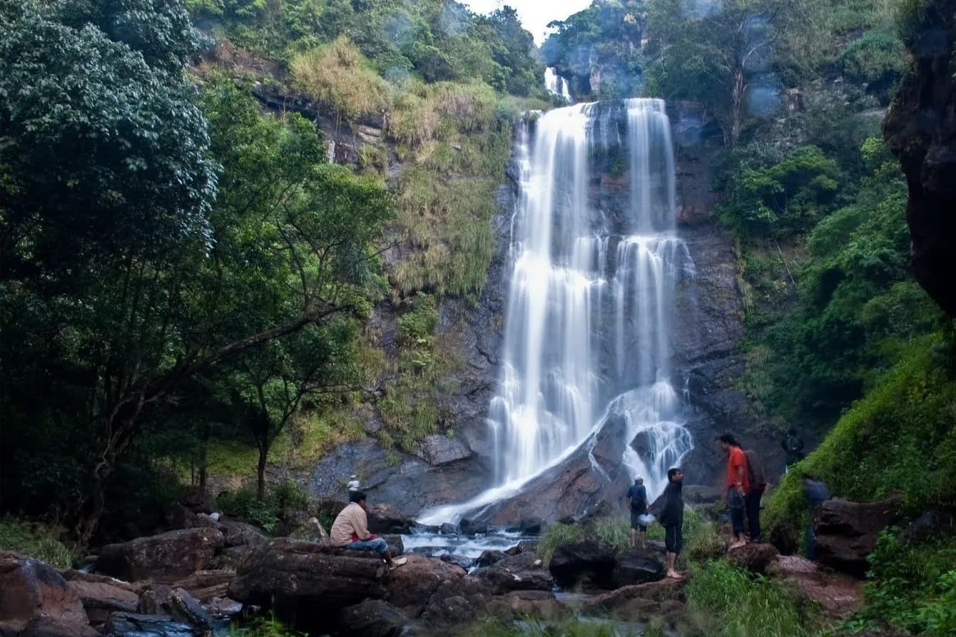 Waterfall
Hebbe Falls
A two-tier fall deep inside a coffee estate
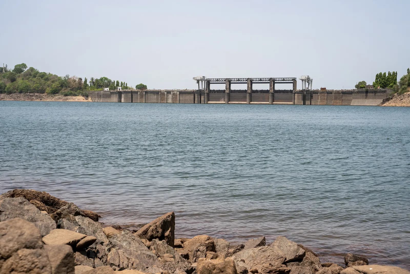 Dam
DamBhadra Dam, Lakkavalli
One of Karnataka's oldest big dams, holding the reservoir that forms the tiger reserve's western edge.
Kalhatti Falls
A cliff cascade over a small temple
 Temple
Amruteshvara Temple, Amruthapura
Hoysala stone carving on the northern plains
Shanti Falls
A small fall on the Z Point path that almost nobody stops at — which is the whole point.
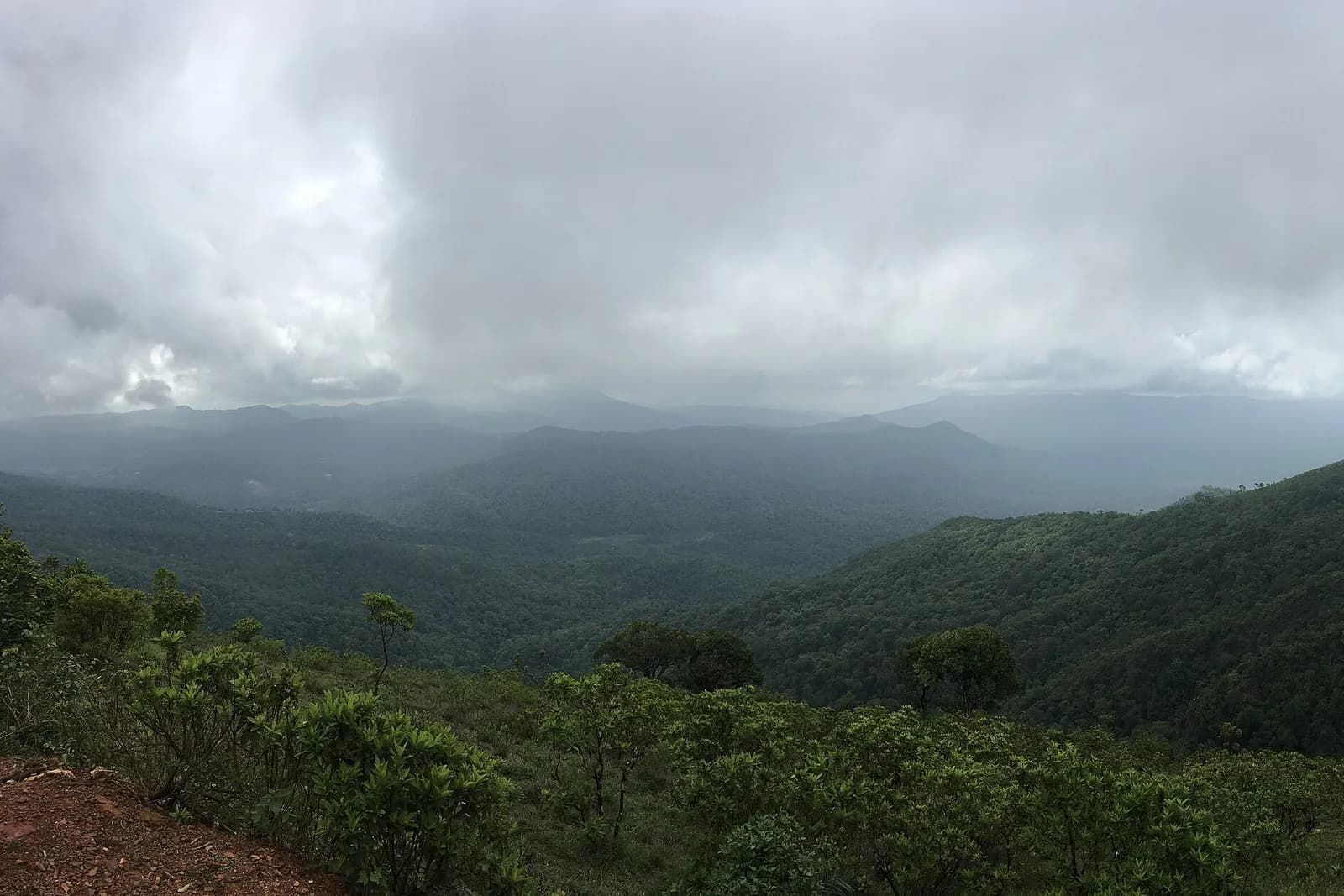 Viewpoint
Z Point
Kemmanagundi's sunset ridge