Gangamoola (Varaha Parvatha)
One hill, three rivers — the Tunga, the Bhadra and the Netravathi all start here.
Gangamoola, also called Varaha Parvatha, is a hill of about 1,458 m in the heart of Kudremukh National Park, and it is the source of three rivers that go on to shape most of southern Karnataka: the Tunga, which runs past Sringeri; the Bhadra, which runs past Kalasa and is dammed at Lakkavalli; and the Netravathi, which goes west to the sea at Mangaluru. Inside the forest there is a shrine to Bhagavathi and a cave holding a 1.8-metre image of Varaha.
What to do here
- Trek in from Bhagavathi Nature Camp with a permit
- See the Varaha cave image and the Bhagavathi shrine
- Stand at the point where three river basins divide
The hydrological heart of the district — the reason the Bhadra reservoir fills, and the reason the Tunga runs past the Sringeri math.
History
The Varaha image and the Bhagavathi shrine have drawn pilgrims into this forest for centuries. The hill is part of the Western Ghats UNESCO World Heritage inscription.
Travel tips
Reached on foot from Bhagavathi Nature Camp, itself around 4.5 km from Lakya Dam. Permits and a guide are compulsory. Rainfall here is extreme — June to September is effectively closed.
Please note
Do: book the forest department permit before you travel. Do: go with the assigned guide, always. Don't: attempt it in the monsoon. Don't: take plastic in. Don't: bathe or wash at the river source — it is a shrine as well as a watershed.
Combine your trip
Places near Gangamoola (Varaha Parvatha)
 Trek
TrekKurinjal Peak
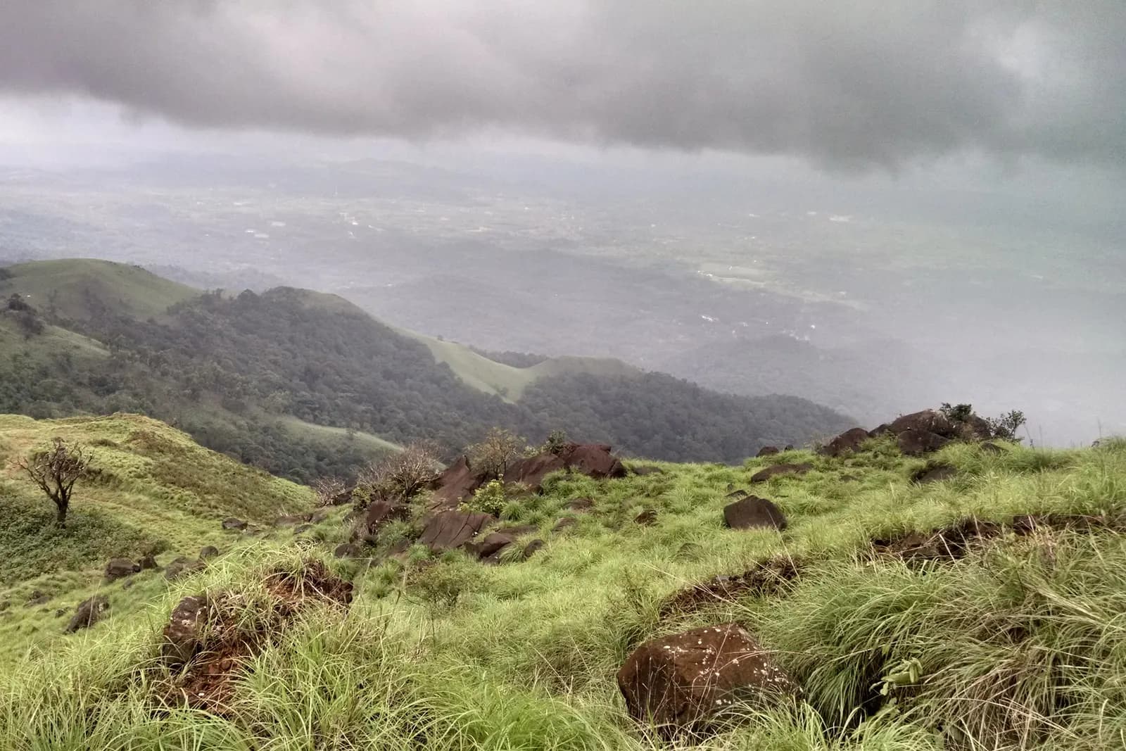
Seven kilometres each way from Bhagavathi camp, through rainforest into grassland.
Kadambi Falls
A thirty-foot fall through rock inside Kudremukh National Park, right beside the road.
 Waterfall
Hanuman Gundi Falls
A rock-cut plunge inside Kudremukh park
 Dam
DamLakya Dam
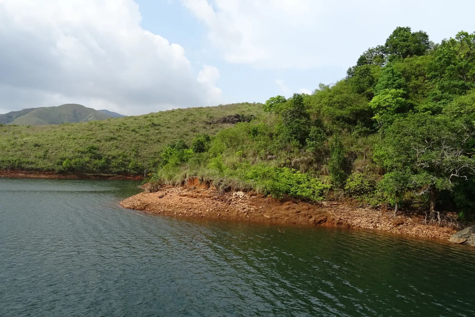
The mine's old tailings dam, now a still green sheet of water under the Kudremukh grasslands.