The whole district
Places to visit in Chikmagalur
Every peak, trek, waterfall, temple and lake we would send a friend to — with the honest detail on how hard it is, how long it takes and when to go. Start with the map: which taluk a place is in decides whether it fits your day.
Boundaries traced from the district's own talukwise map — Nayvik, CC BY-SA 3.0, via Wikimedia Commons. It predates the creation of Kalasa and Ajjampura taluks, so those are shown with the taluks they were carved out of.
Nine taluks
Start with where, not what
54 places across the district, and the distance between them is the thing that decides your trip. Pick a taluk to see what is in it — the hills and the treks, the temples, the waterfalls, and what is worth eating while you are there.
Or search the lot
Every place in the guide, filterable by what it is, which taluk it is in and how hard the walking gets.
7 of 54 places
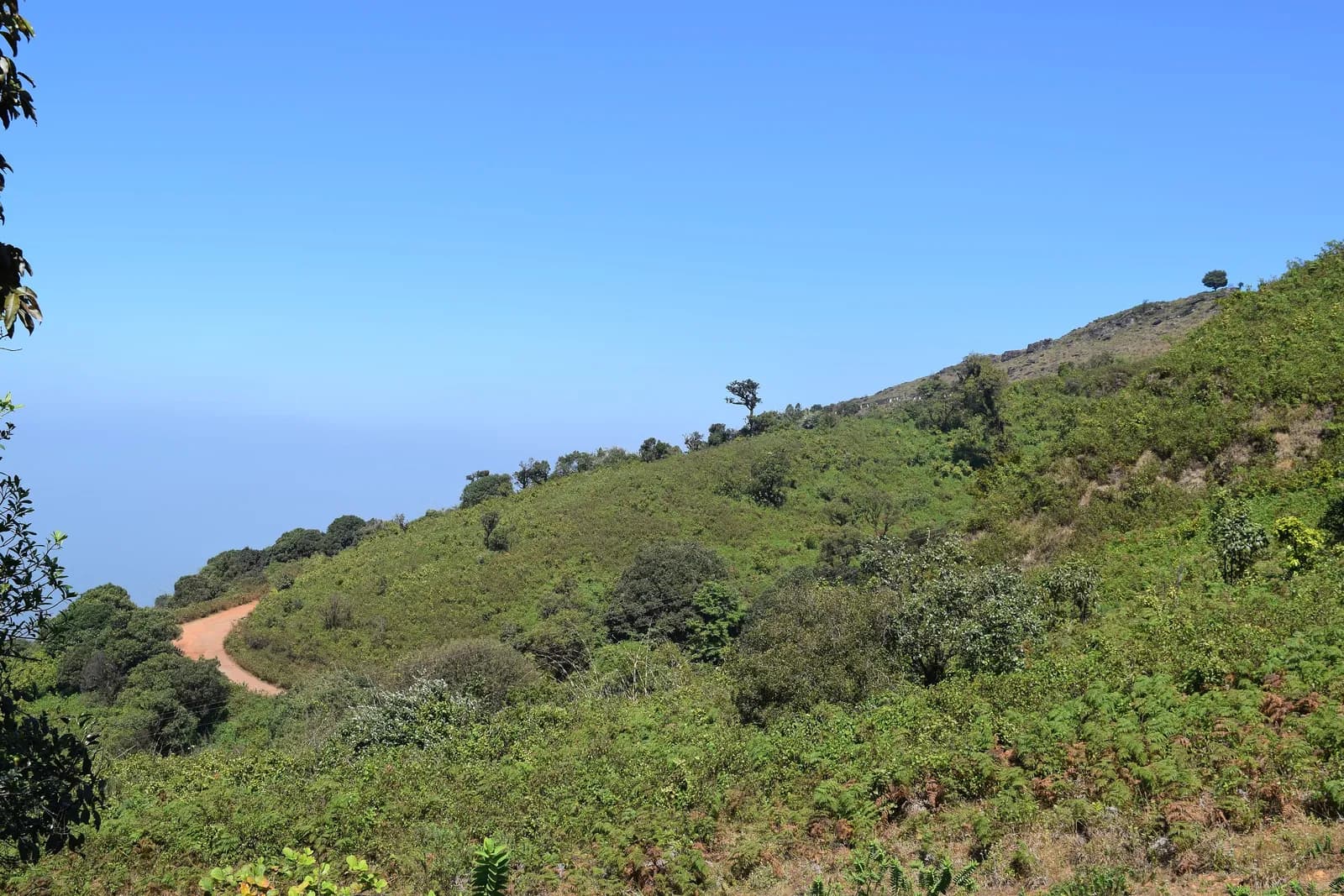 Peak
PeakMullayanagiri
The highest point in Karnataka, wrapped in cloud
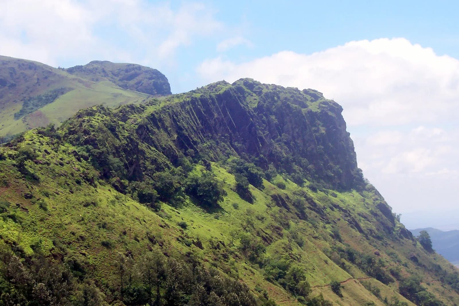 Peak
PeakBaba Budangiri
A shared shrine on a ridge of coffee legend
Seethalayyanagiri
The green shoulder below Mullayanagiri, with a Shiva shrine and a view over both valleys.
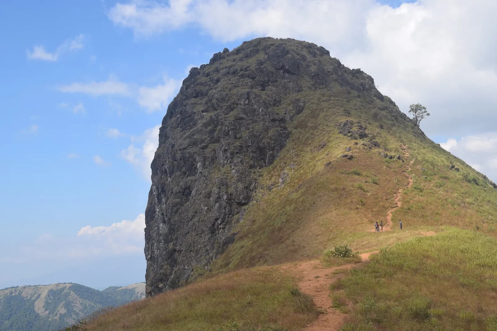 Peak
PeakEttina Bhuja
The ox's shoulder — a 1,300 m rock nose over the Charmadi valley, and the district's best half-day climb.
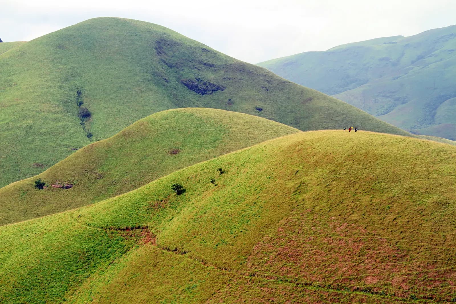 Peak
PeakKudremukh Peak
The horse-faced peak of the rainforest Ghats
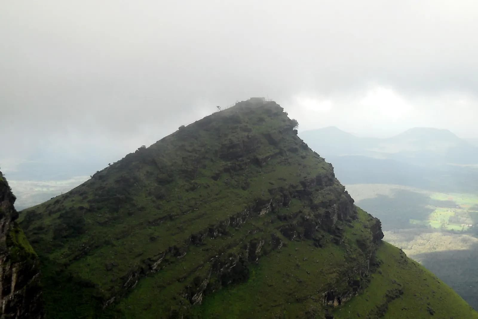 Peak
PeakDeviramma Betta
The third summit of the Chandra Drona range, and an 800-year-old hill goddess.
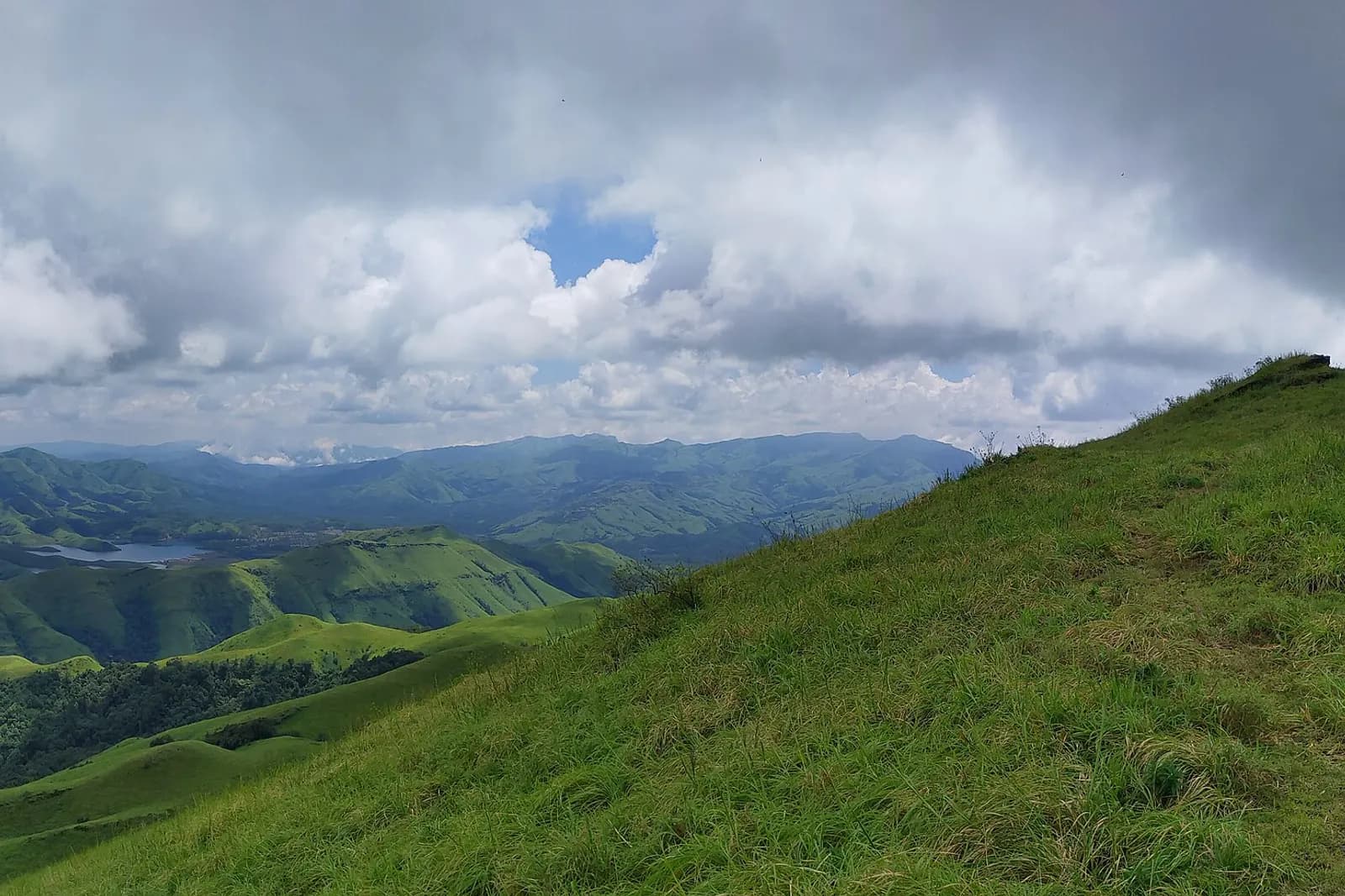 Peak
PeakGangamoola (Varaha Parvatha)
One hill, three rivers — the Tunga, the Bhadra and the Netravathi all start here.