Netravathi Peak
A long grassland walk above the Netravathi's headwaters, with the coastal plain in view.
Netravathi is the peak above the headwaters of the river that runs west to the sea at Mangaluru. The route crosses ridge after ridge of shola-and-grassland country and, on a clear winter day, opens onto a view of the coastal plain far below. It was closed for a period and now runs under the forest department's current permit regime.
What to do here
- Trek the grassland ridges to the peak
- Look west to the coastal plain on a clear morning
- Combine with a stay at Bhagavathi Nature Camp or in Kalasa
The one trek in the district from which you can see both the plateau you started on and the coast the rivers are heading for.
Travel tips
Permit only, booked online in advance under the Chikmagalur region on the forest department portal — there is no booking at the gate, daily numbers are capped and the policy is zero-refund. Carry a printed or downloaded permit with matching ID, 3 L of water, a rain shell and full socks. Download maps; there is no phone coverage.
Please note
Do: book online well ahead and arrive at the gate opening time. Do: carry salt for leeches from June to September. Don't: camp on the route. Don't: take single-use plastic in. Don't: expect a refund or a date change if you miss your slot.
Combine your trip
Places near Netravathi Peak
 Dam
DamLakya Dam
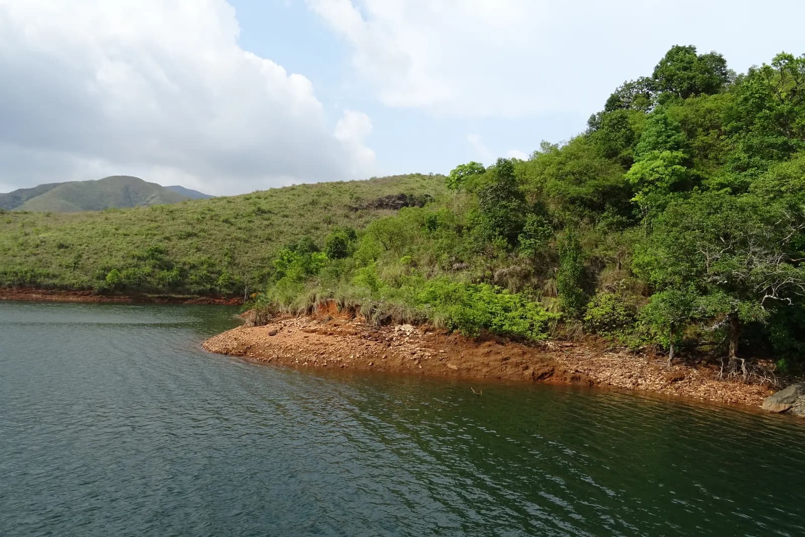
The mine's old tailings dam, now a still green sheet of water under the Kudremukh grasslands.
Meruthi Gudda
A half-day grassland climb outside the park core — the trek to do when the permits have gone.
 Waterfall
Hanuman Gundi Falls
A rock-cut plunge inside Kudremukh park
 Trek
TrekKurinjal Peak
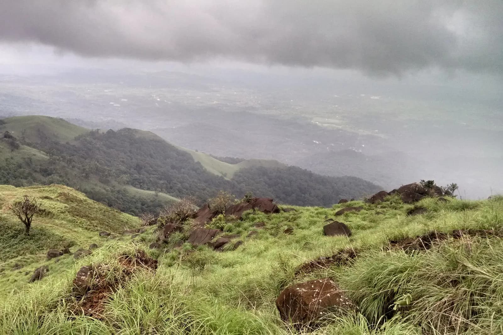
Seven kilometres each way from Bhagavathi camp, through rainforest into grassland.